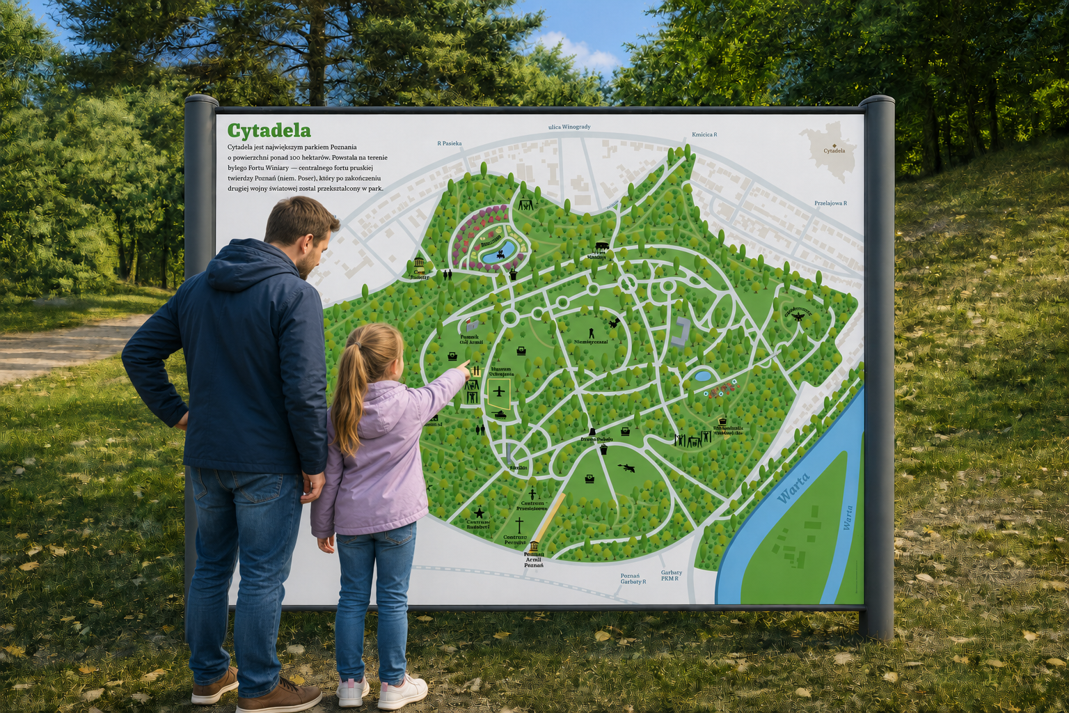
Citadel Park map in Poznań
In the very heart of Poznań lies Citadel Park — the city’s largest park. A military fort, Fort Winiary, once stood here, built by the Germans in the nineteenth century.
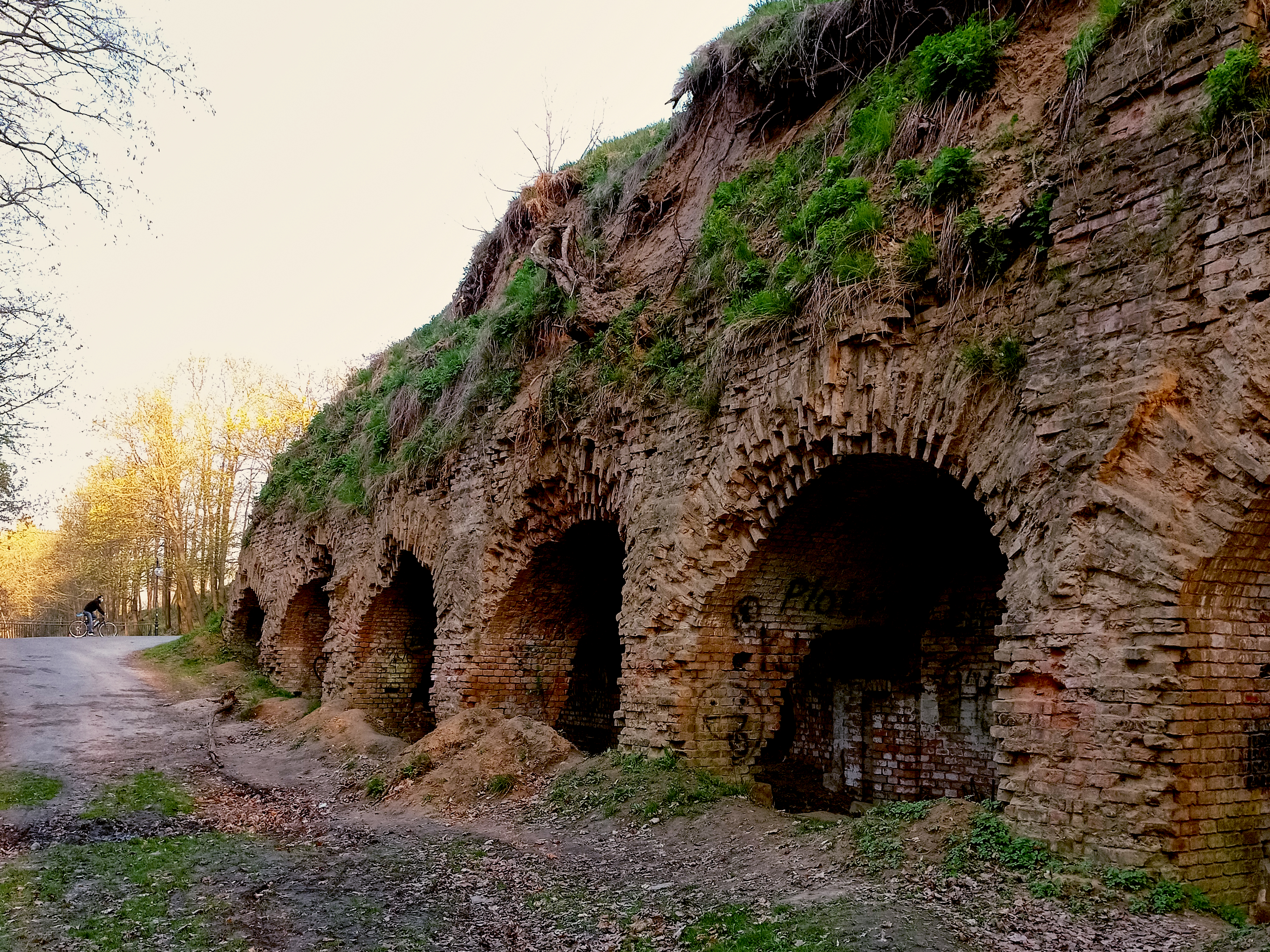
After the Second World War the fort was turned into a park. That is how the Citadel came to be. Today it is a place where people from Poznań can walk, sit in cafés, look at the remains of the old fortifications, or visit the military equipment museum.
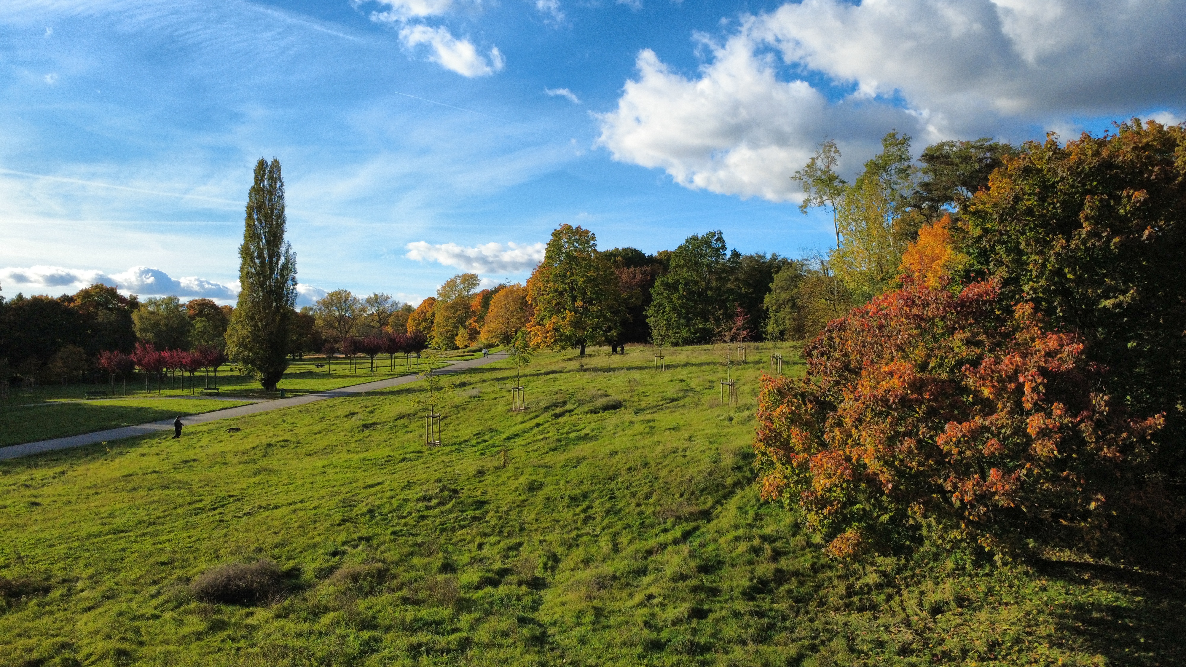
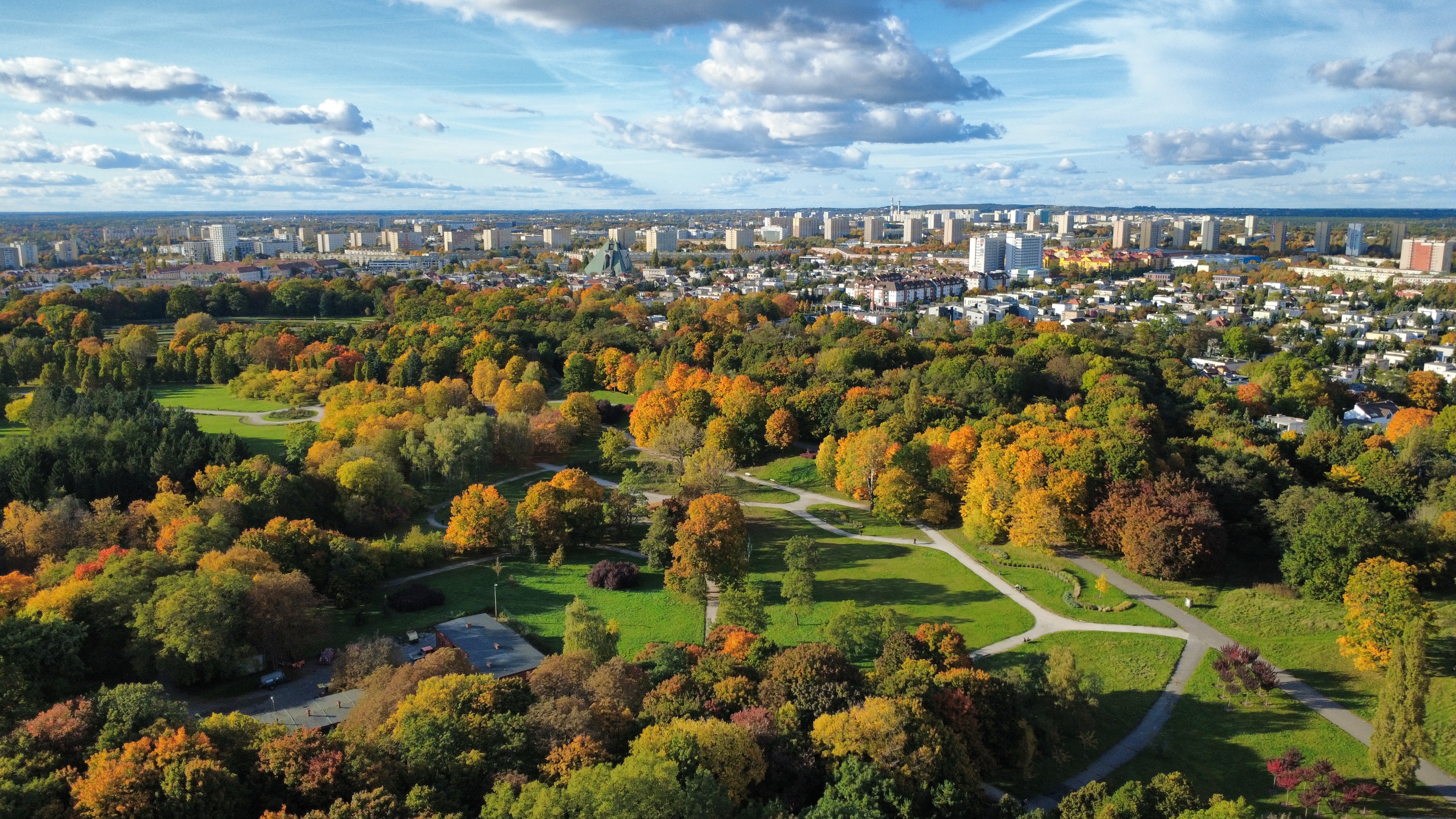
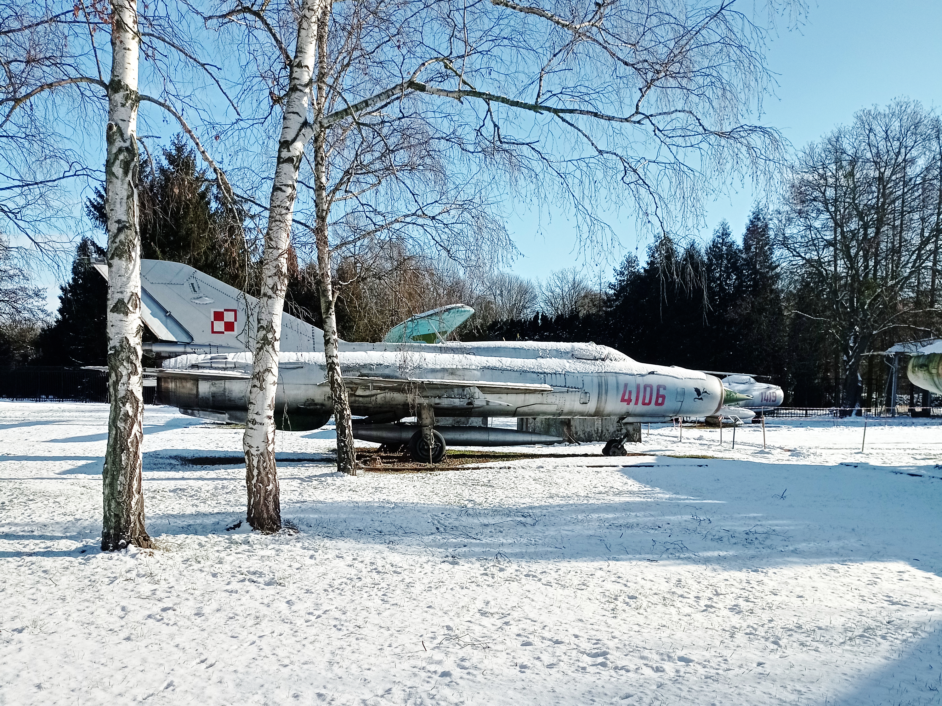
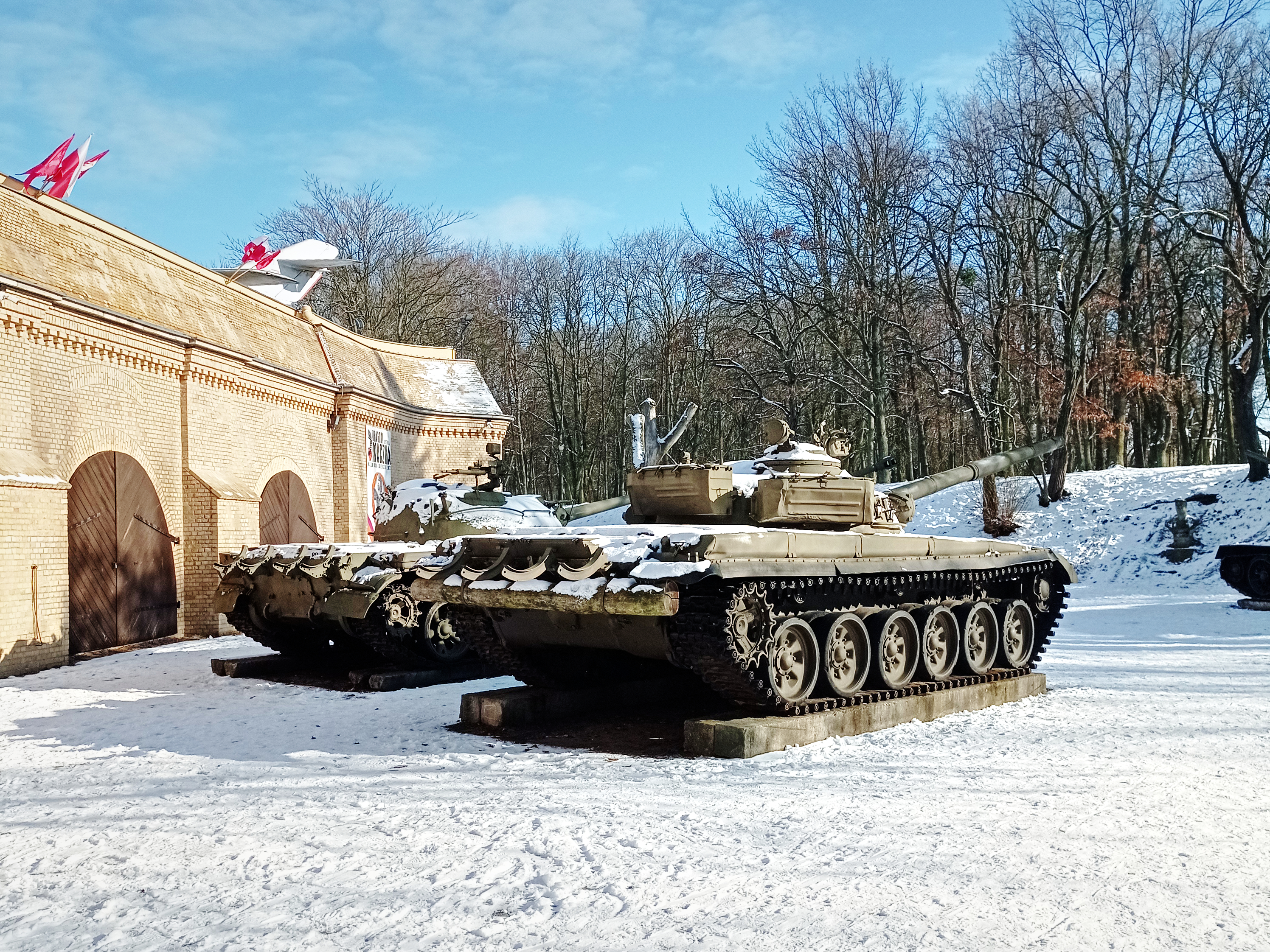
The Citadel is a large park of about 100 hectares, almost in the very heart of Poznań.
In short, the park is large and full of different places. Most people, however, stay on the main paths and never reach the more remote parts. There is plenty to see there as well: fortifications, a military cemetery, or an amphitheatre that will soon be turned into a shelter for bees.
To help people find their way around the Citadel, I designed a schematic map that shows, in a clear way, everything worth seeing there.
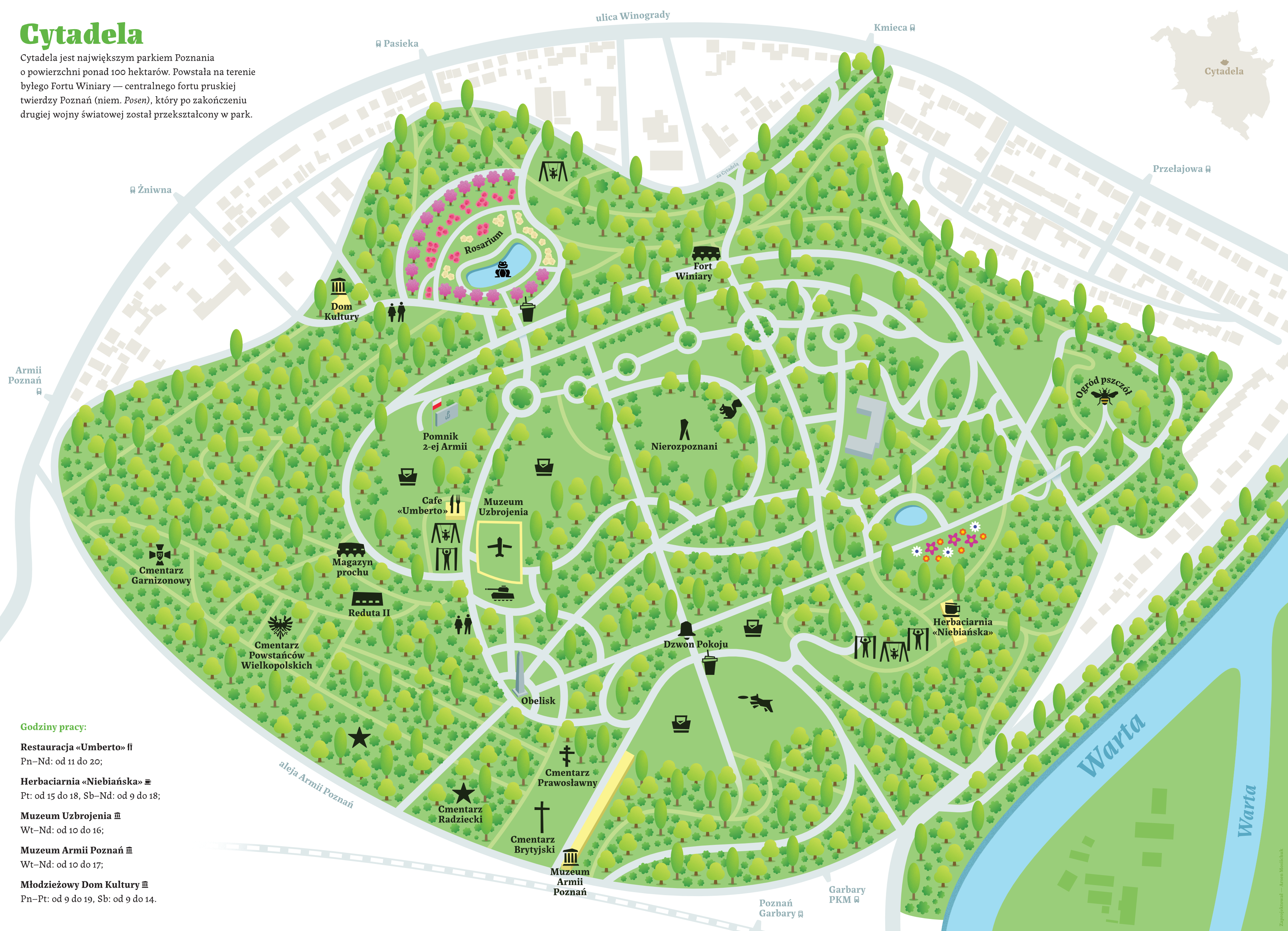
Alongside the map itself, I also propose wayfinding in the park to the places shown on it — there is no such navigation today, and people have to use their phones to find a chosen spot.
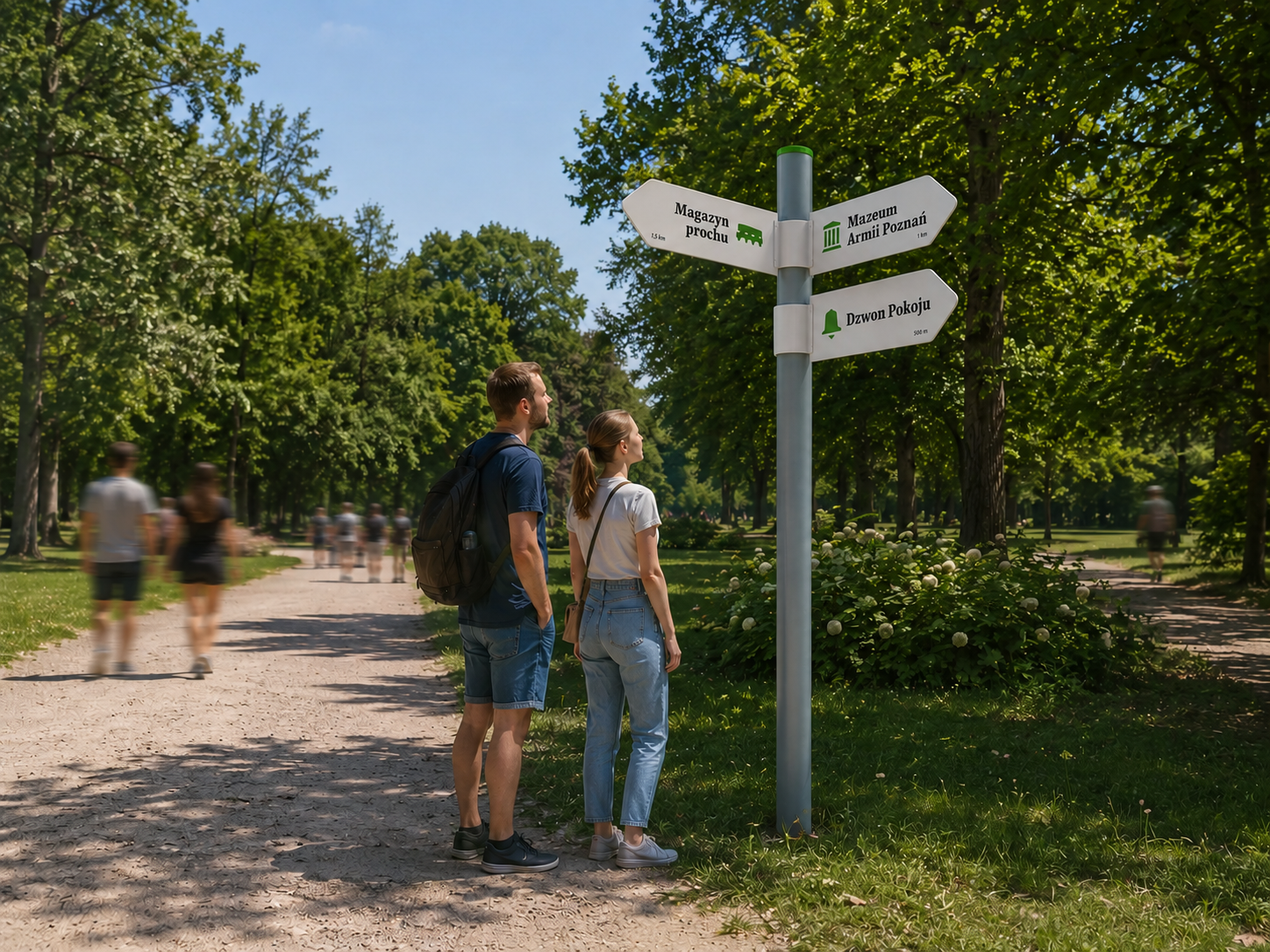
The new schematic map would make the park easier to navigate, so I hope the project can be put into practice.