Gdańsk tram map
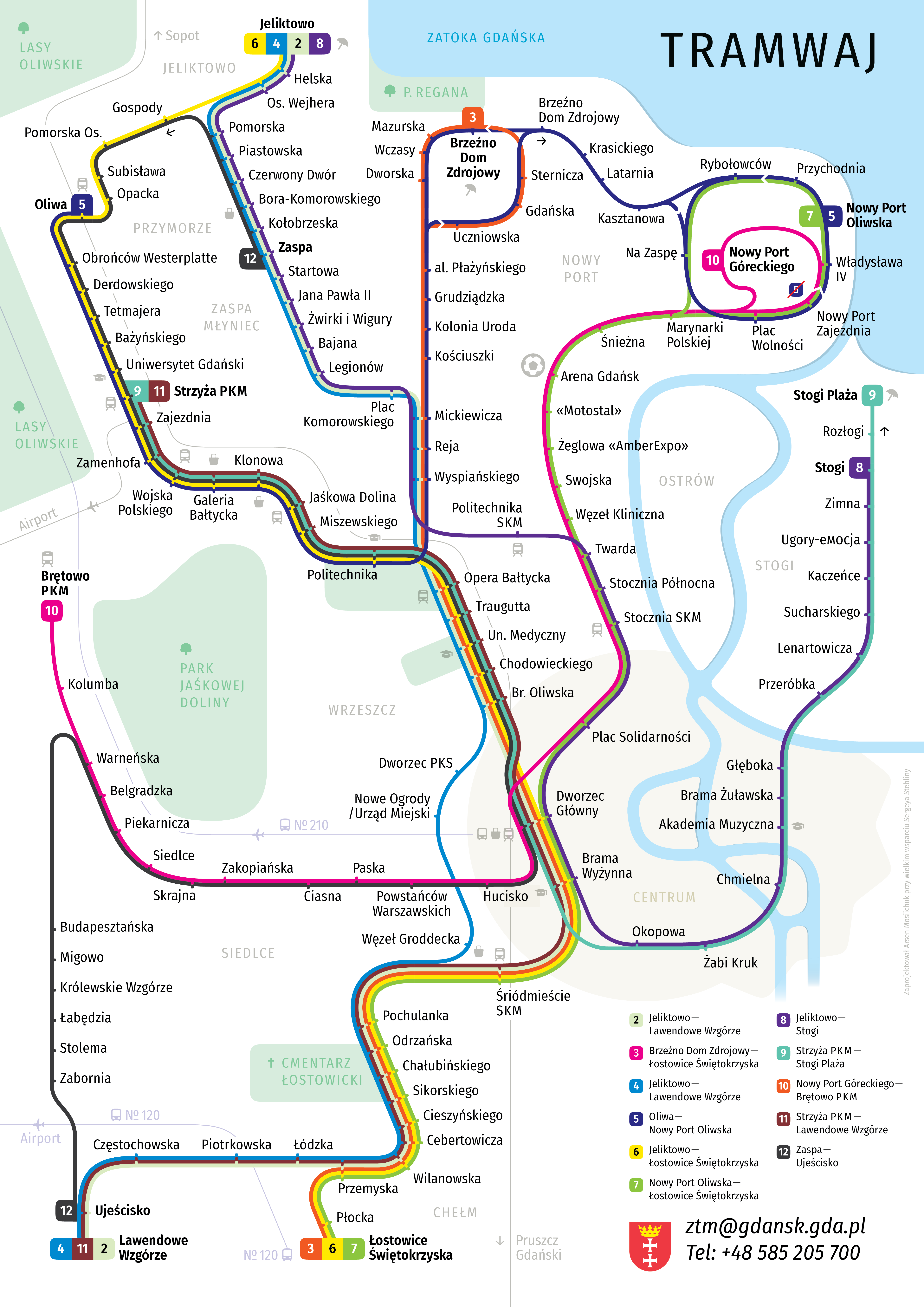
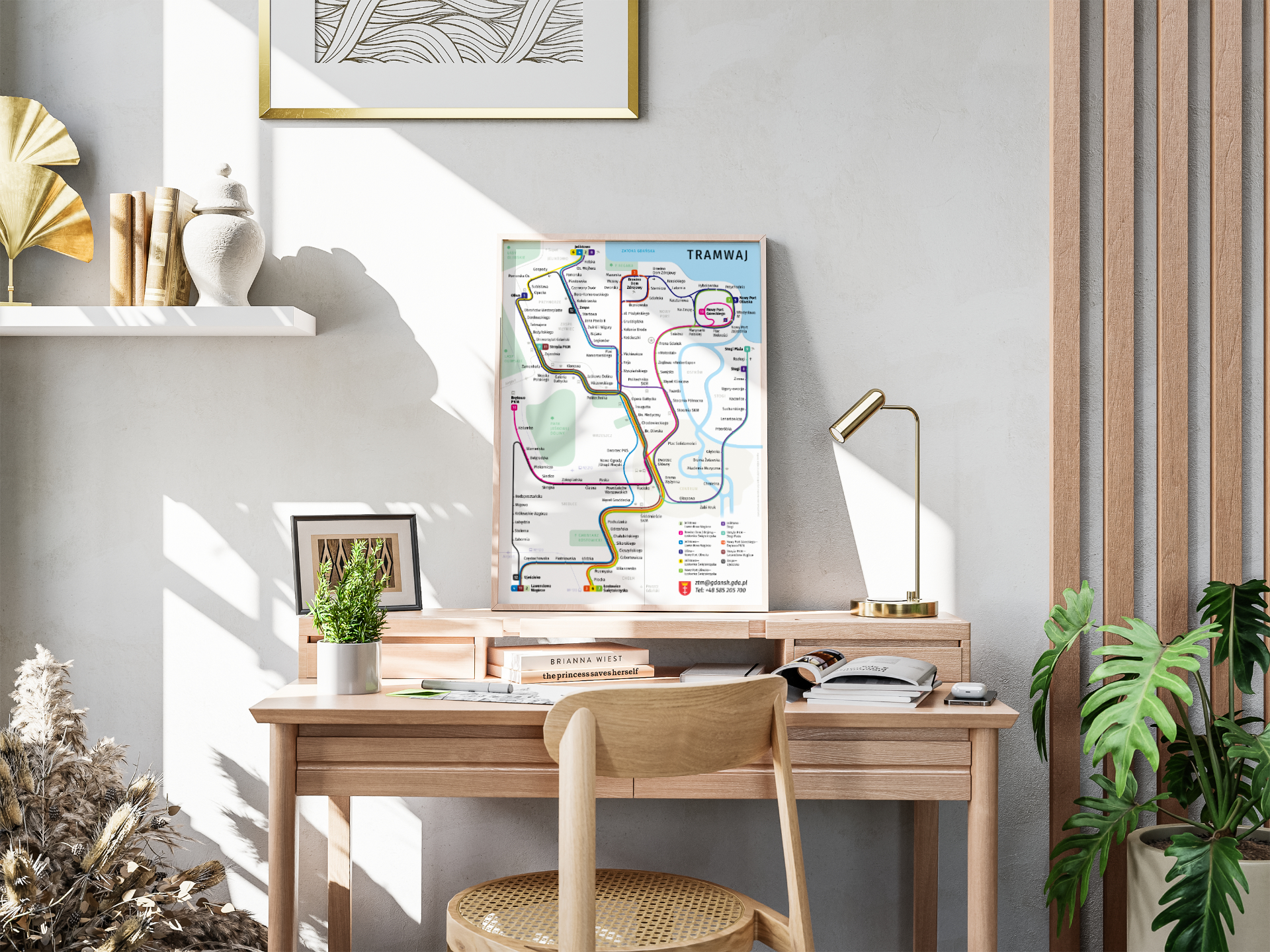
Under the guidance of Serhii Steblyna I made a new tourist map of the Gdańsk trams. It is not only convenient for people who ride the trams, but also very beautiful.
 Download PDF
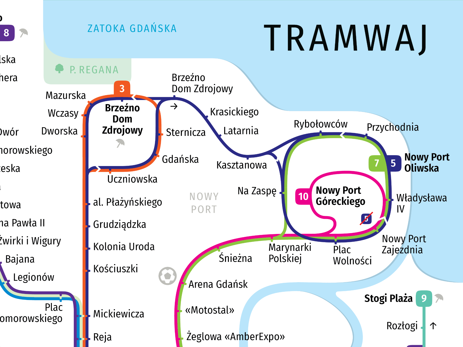
The new map has more information that can be useful to passengers. The largest parks, districts, islands, and the city centre are marked. In addition, every stop with an important city landmark — a station, a university, a shopping centre, a stadium, or a beach — has its own icon.
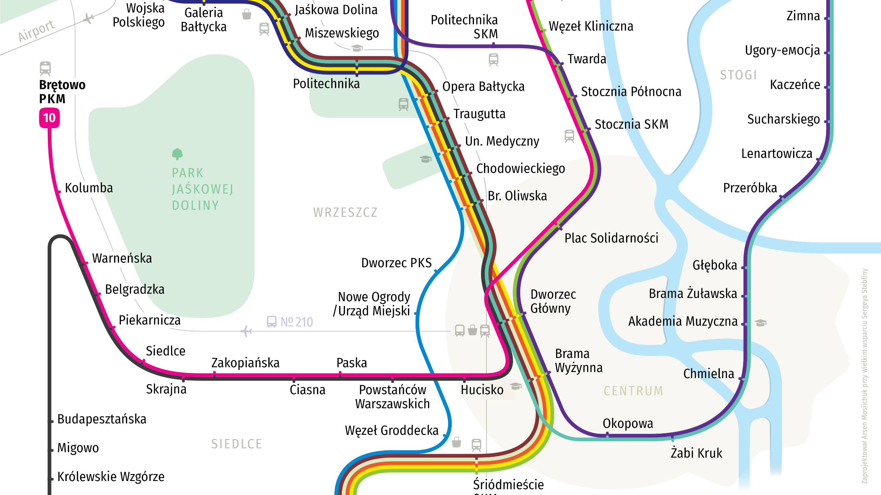
The icons themselves were also designed from scratch.
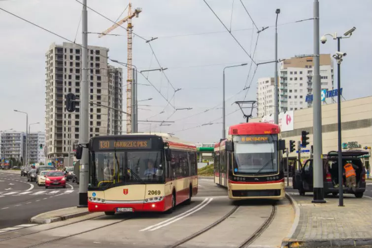
The shapes of the bus and the tram refer to the real shapes of those vehicles. Source: gdańsk.pl
The shapes of the bus and the tram refer to the real shapes of those vehicles. Source: gdańsk.pl

On a separate, less prominent graphic layer we placed the railway lines, as well as the bus routes that go to the airport.
The city centre has an interesting shape. In reality it is bounded on the east and south by a star-shaped moat, and on the west by straight streets. On maps the centre is usually marked with a circle, but we wanted to emphasise the shape of the moat. The solution is a combination of a circle and a polygonal star.

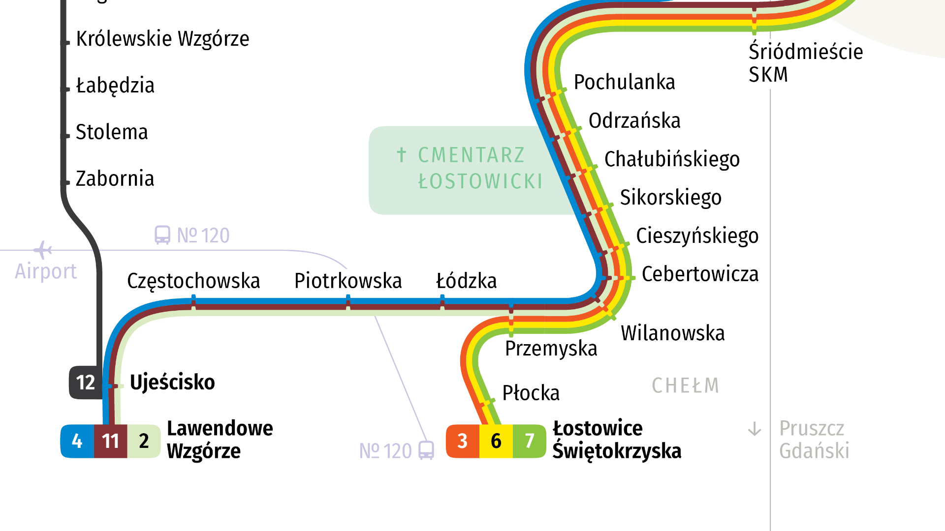
We also paid a lot of attention to the plasticity of the lines. Smooth lines are much easier to follow than ones whose direction changes at unrounded angles. A lot of time also went into combining colours that would give the best contrast between routes. Each line enters and leaves a bundle in such a way that no gaps appear later.
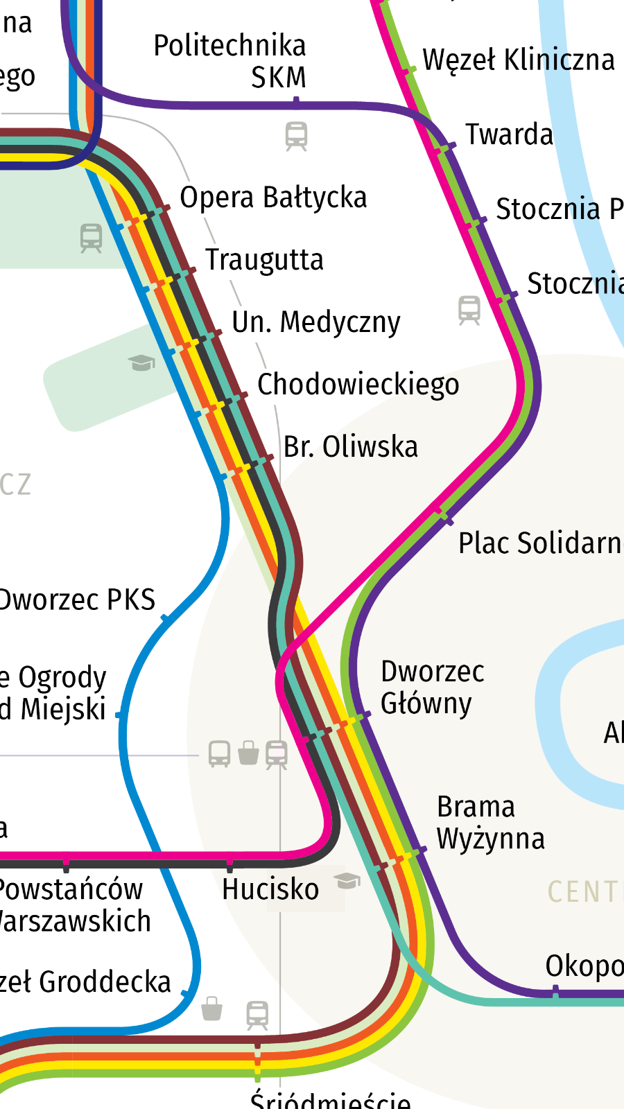
The map also has details that do not necessarily help a passenger plan a route, but simply make the map more beautiful. For example, all the islands and the coastline have a thin shadow that gives them volume.
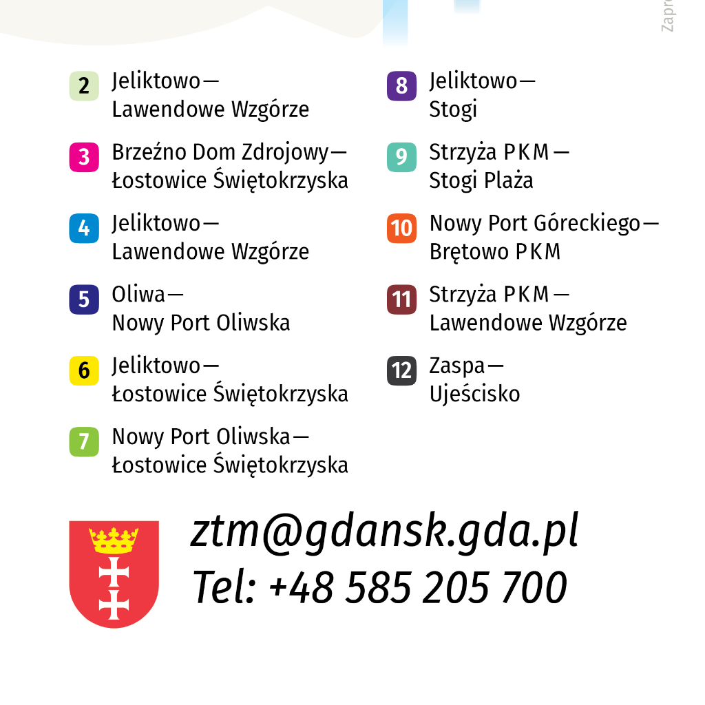
The legend was not left without attention either — it is readable and well laid out.
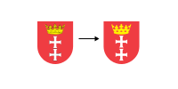
We simplified the coat of arms of Gdańsk — we removed the black outline, which only created unnecessary visual noise.
We encourage Gdańsk to adopt our map :-)