Poznań tram map
08.03.2024 — this map is no longer current. The current version is published by
Poznań ZTM. I may update this project in the future.
I made a map of the Poznań trams. I tried to make it convenient for as many people as possible.
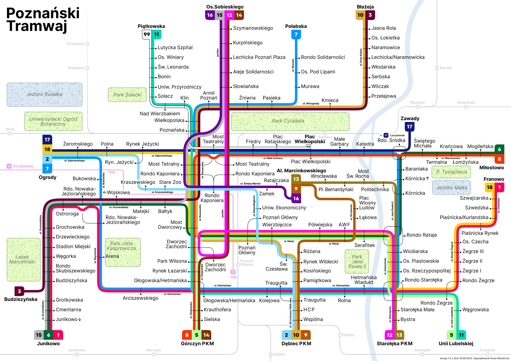
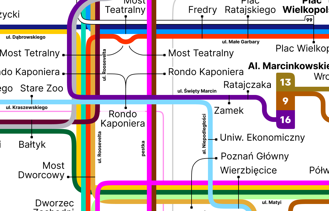
Each route has its own colour, which is used at stops and in underpasses (for example under Rondo Kaponiera). That fact had to be taken into account when designing the map, so each line on my map matches the colour used in Poznań’s transport system. That makes it easier to put the map into use.
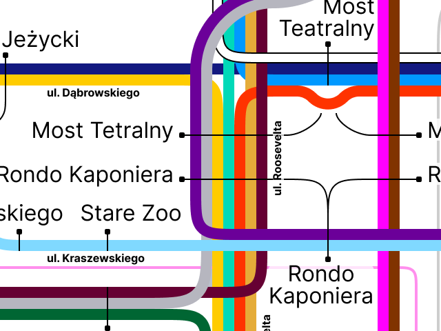
Of course, some small optical adjustments were made to ensure good contrast, but line 8 is still red and line 7 is still blue.
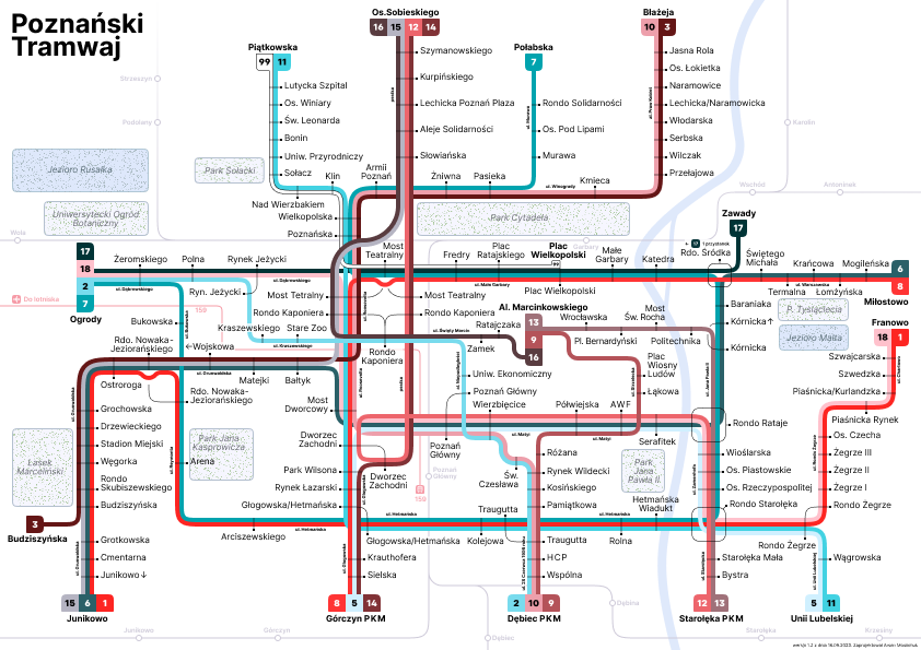
The map is also readable for people with vision problems. This is how it looks for people with tritanopia.
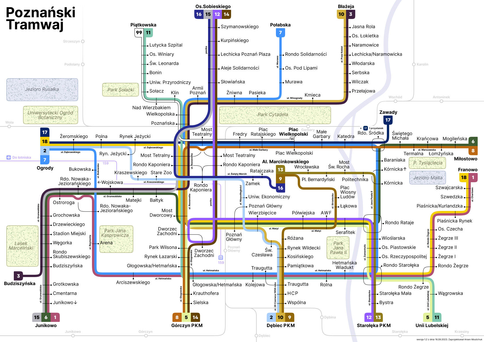
And this is how it looks for people with protanomaly.
Since each route on the map has its own line, it is hard to mark stops with circles, as on the current map. I chose “pins” to mark the stops.
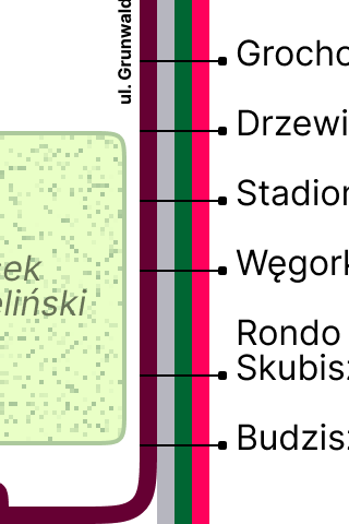
They can change length and, when needed, bend.
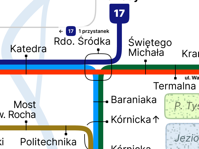
At the roundabouts in the eastern part of the city the “pins” turn into rounded squares.
Parks and lakes complete the map.
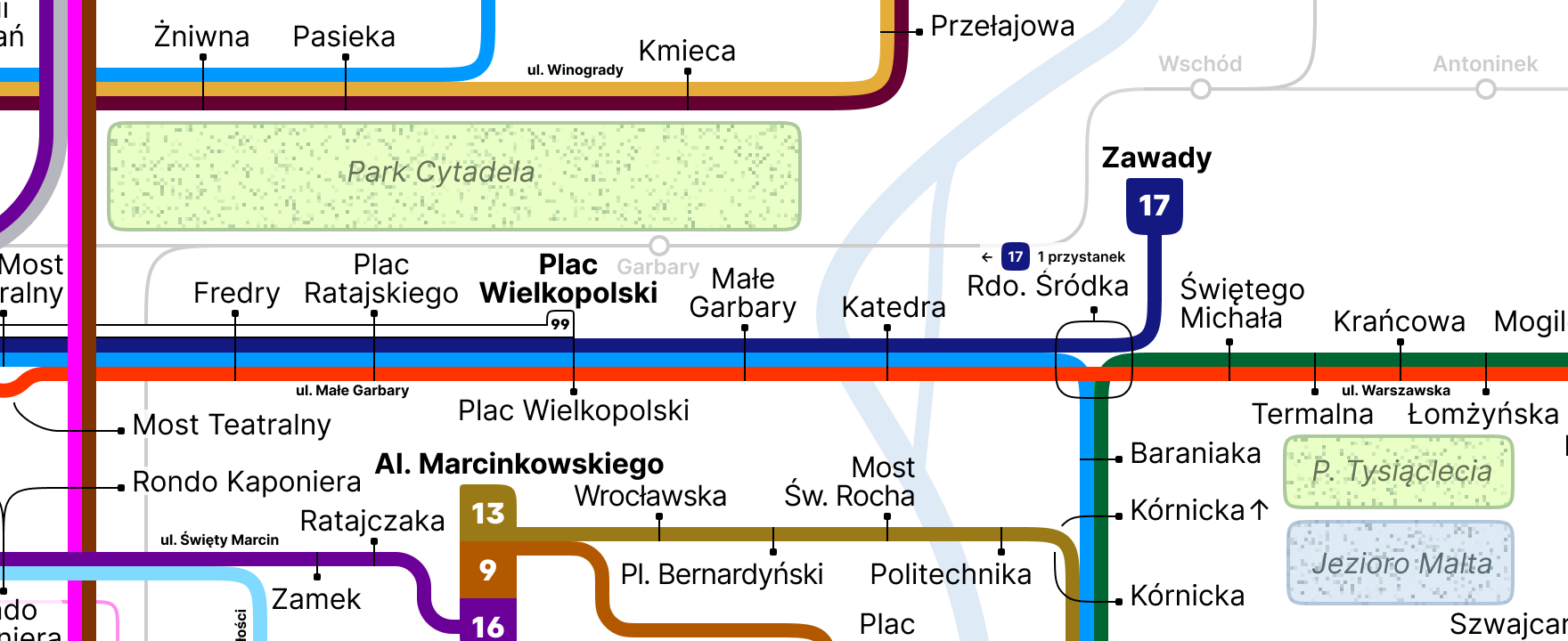
I encourage Poznań ZTM to adopt my map :)