Warsaw metro map (2050)
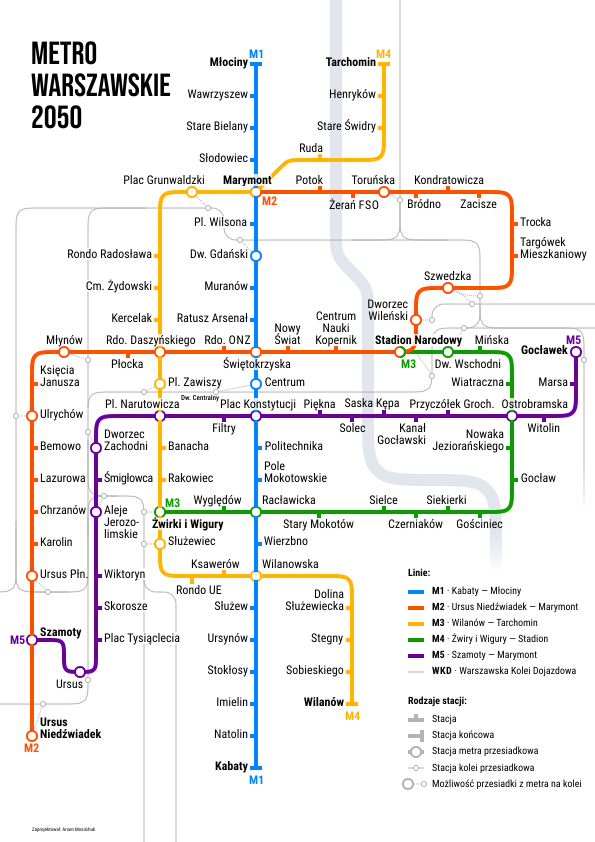
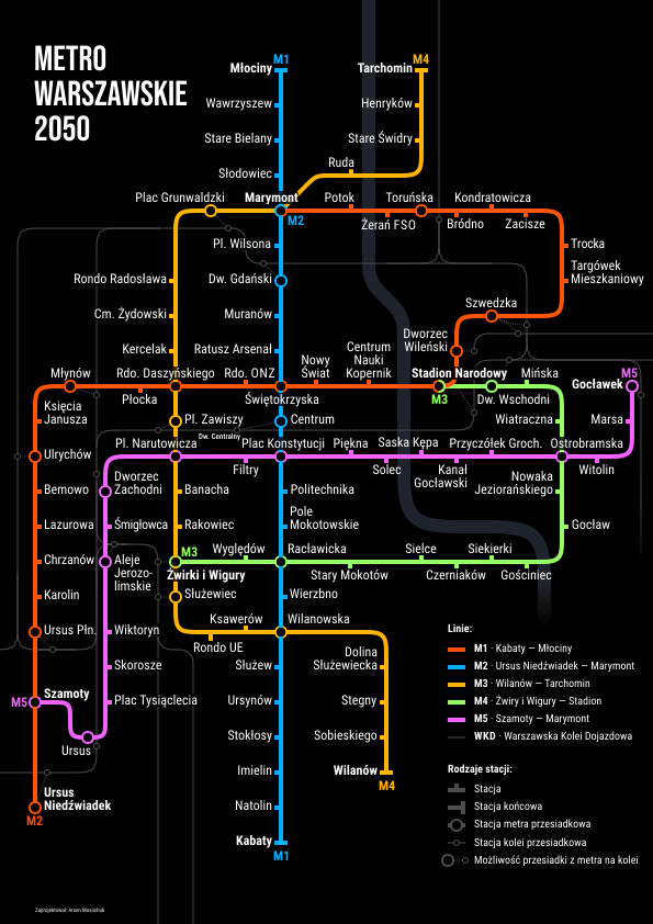
I made a map of the Warsaw metro for 2050.
 Download PDF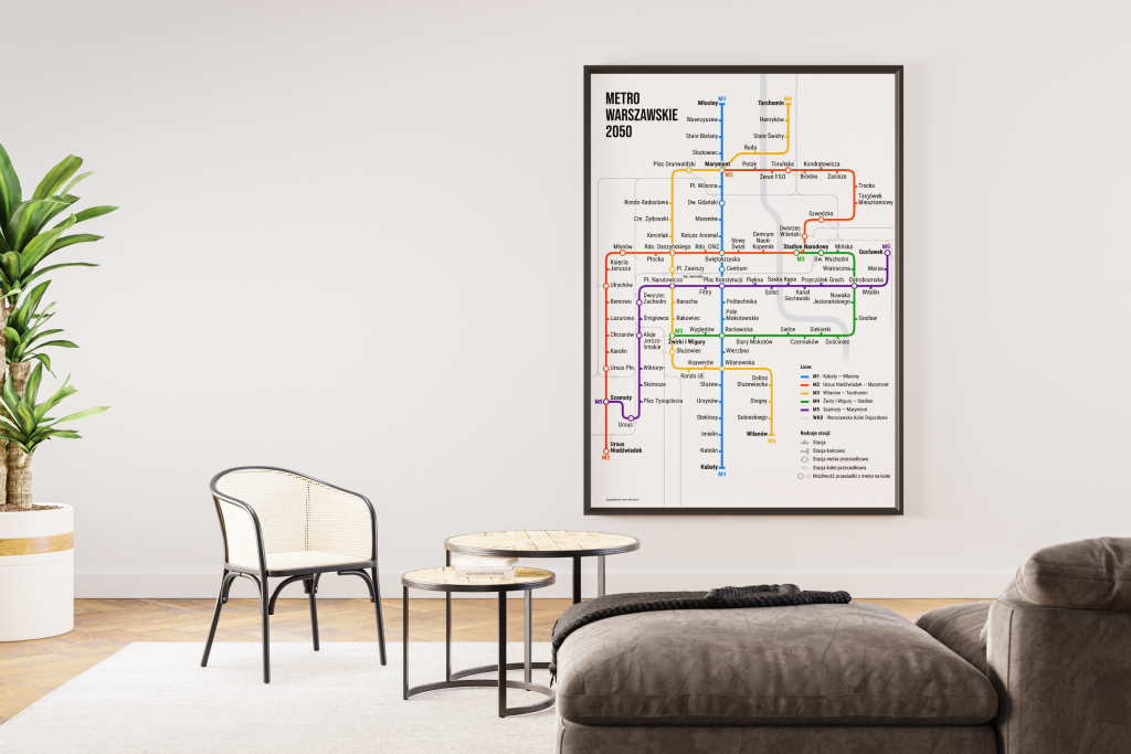
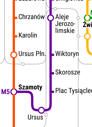
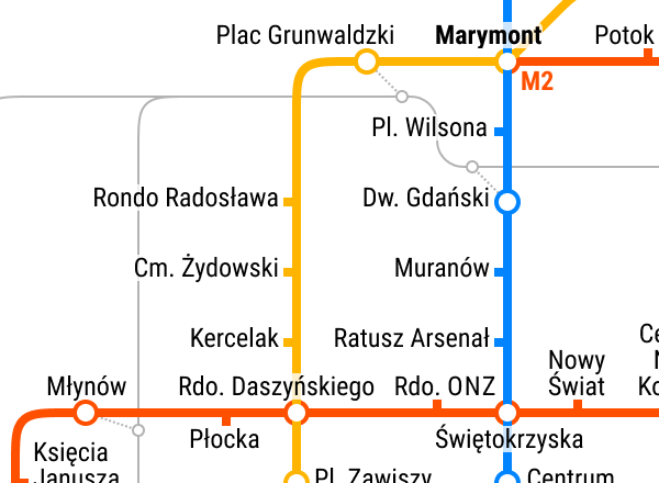
To mark stops I chose “stubs” instead of rings. The advantage of stubs is that they can point to the station name, which a circle cannot. They also create less visual noise. Circles can be used to mark interchange stations.
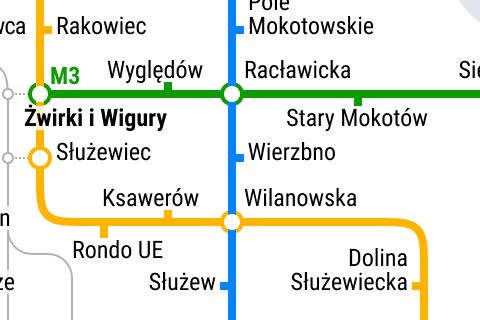
Railway lines are present, but less prominent, because they are not the main graphic layer on the map.
I did not add markings for car parks or tram and bus interchanges. In my view they add no extra information. You can transfer at most stations, and anyone who wants to transfer at a given station already knows that they can. The same goes for car parks.
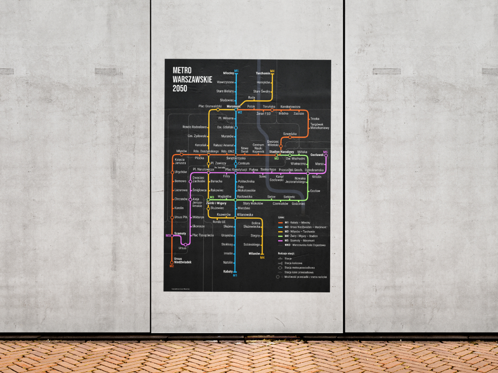
The map also looks good on a black background.
 Download PDF